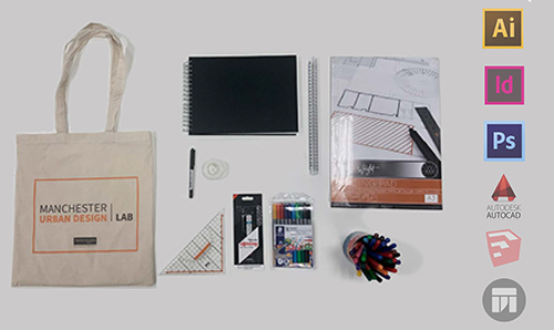
Software
We operate key software in developing projects, and in teaching and training.
This helps us deliver high-quality visuals across a range of mediums and scales.
All software packages operate their latest versions and we frequently evaluate our portfolio.
Each machine in our 100+ computer cluster space comes equipped with all key software.
We also offer remote access to these machines for training events and teaching.
MSc Urban Design and International Planning students receive year-long licenses and dedicated training.
Our bespoke toolkit provides detailed guidance in each software.
Adobe Creative Suite
Adobe Illustrator (Ai)
Part of the Adobe Creative Cloud, Adobe Ai is the industry-standard software to create and edit vector graphics.
We use Adobe Ai to create the majority of our urban design analysis maps and infographics.
The software is capable to produce high-quality sharp graphics that can be exported in various formats and used with other software such as CAD, SketchUp, Photoshop, and InDesign.
Adobe Photoshop (Ps)
Adobe Ps is the industry-standard software to edit raster graphics.
We use Photoshop to bring our CAD-based masterplan skeleton to life by adding textures, street furniture, vegetation, and shadows, in addition to the special effects and filters that allow the final graphics to look polished and professional.
Adobe InDesign
Adobe InDesign is the industry-leading layout and page design software that we use to put together our presentation boards and design portfolios to produce high-quality, sharp, yet small-size presentations that can be printed or shared online.
As InDesign is part of the Adobe Create Cloud, it is highly compatible with both Ai and Ps.
AutoCAD
AutoCAD is computer-aided design software that allows us to draw precise, to-scale, vector drawings quickly and effectively.
We use AutoCAD to draw our final, technically correct, masterplan skeleton, in addition to creating the technical drawings for the creation of the physical 3D models.
The final product can be exported to be used in different software including Illustrator, Photoshop, and SketchUp.
ArcGIS
This Geographic Information System (GIS) software is utilised for analysing mapped information and local neighbourhood statistics and datasets.
At the Manchester Urban Design LAB (MUD-Lab), we use this system to provide an infrastructure for understanding places in greater detail and depth.
Sketch-Up Pro
Sketch-Up Pro is a user-friendly 3D design software that we use to create the basic structure for our 3D graphics.
It can import vector CAD drawings or images and use these as base maps for 3D design.
It is highly flexible and the final product can be exported to be used in Ai, Ps, CAD, or Twinmotion.
TwinMotion
Twinmotion is a user-friendly rendering software that we use to finish and present our final 3D design.
This software can add realistic materials and elements, street furniture, sky, people, vegetation, and lights to our models.
It can help to communicate the feel of the design and public spaces at different times of the day or year.
The software is totally based on the Sketch-Up model we create in earlier stages.