Mapping, Computing and Geographical Information Science (MCGIS)
The Mapping, Computing and Geographical Information Science (MCGIS) research group seeks to facilitate collaboration between colleagues with research interests from a variety of geographical sub-disciplines that share methodologies relating to maps, GIS, remote sensing and computing.
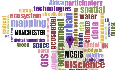
The group includes human, physical, environmental, and computational geographers, as well as academics, research students and professional services colleagues from a range of aligned fields. This interdisciplinary view of approaches to mapping and Geographical Information Science enables us to draw upon both technical and critical skill sets in the development of new methods and applications.
Our focus, therefore, lies in areas such as emergent technologies, data analysis, data visualisation and software development in a wide variety of application drawn from both human and physical geography.
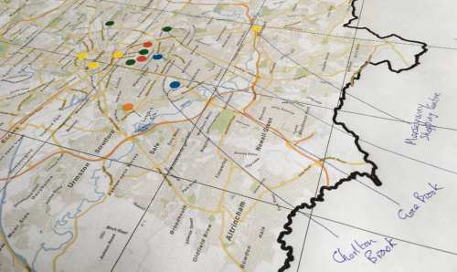
The group benefits from facilities such as the University Map Library, which houses one of the most significant map collections in the UK; a wide range of and equipment for mapping, surveying and data collection (including UAV’s) from the Geography Laboratories; and both shared and dedicated high-performance computational facilities for machine learning and cluster computing.
Amongst other activities, MCGIS has hosted the 25th GIS Research UK (GISRUK) conference, held in April 2017, and the FOSS4G UK conference 2022.
Our research
Themes
Application Areas:
- Critical Cartography
- Environmental Geography
- Geographical Information Science
- Global Health
- Ice Sheet and Glacier Reconstruction
- Spatial Ecology
- Spatial Humanities
Methods:
- Agent Based Modelling
- AI and Machine Learning
- Digital Elevation Models and Terrain Modelling
- Fuzzy Set Theory
- Geomorphometrics
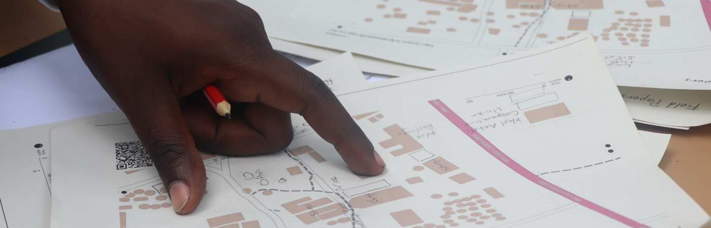
- Participatory GIS
- Remote Sensing and Earth Observation
- Spatial Analysis
- Visualisation / Virtual Reality
- Volunteered Geographical Information
Projects
- A comprehensive beaver floodplain model for Switzerland
- Belfast Mobility Project (BMP)
- CONNECT Kampala
- Island mapping
- Major Limb Loss (MLL) in Northern Uganda
- Playful mapping
- Queer experiences of disasters, intersectionality, and the spatial dimension
- The writing on the wall: reading social realities through graffiti and street art in conflict-affected societies
Our people
Academic staff
- Polyanna Bispo
- Matthew Dennis
- Martin Dodge
-
Richard Figueroa Alfaro
- Angela Harris
- Jonny Huck
- Anna Hughes
- Sarah Lindley
-
Claire Reddleman
- Luca Scholz
- Joanna Taylor
- Matthew Tomkins
Researchers
- Timna Denwood (CASTOR)
- Gail Millin-Chalabi (Toward a UK fire danger rating system)
- Ana Pacheco Pascagaza (Toward a UK fire danger rating system)
- Kirsty Watkinson (MEASURE)
PhD students (with supervisors)
-
Godfred Amankwaa
- Kate Booth (Polyanna Bispo, Jonny Huck, Angela Harris)
- Chantal Bright (Ali Browne, Jonny Huck)
- Lucia Brisudova (Jonny Huck, Reka Soymosi)
- Charlotte Evans (Jonny Huck)
-
Katie Fannin
- Jianyi Liu
- Heather Miles (Chris Perkins)
- Esteban Arevalo Maldonado (Martin Dodge, Chris Perkins, Jonny Huck)
- Sneha Mendiratta (Sarah Lindley)
- Kirsty Watkinson (Jonny Huck, Angela Harris)
-
Yuqi Zhao (Karen Lucas)
Professional Services (PS) staff
- Adam Cooke (Widening Participation Coordinator - UoM Library)
- Biman Biswas (SEED GIS and Remote Sensing Technical Specialist)
- Gail Millin-Chalabi (SEED GIS and Remote Sensing Technical Specialist)
- Donna Sherman (Special Collections Librarian - Maps - UoM Library)