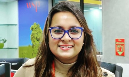
Shreya Mukherjee
Shreya is a Graduate GIS Consultant at WSP India.
On my graduate career

I am currently working with a team of Specialised Professional Geographers and GIS Technicians who work to help government and authorities for their major nationwide infrastructure developmental projects.
I do this by creating plans that assist them with identification, creation, maintenance and cost estimation, based on acquisitions of an individual's land.
The day-to-day work includes the use of geospatial technologies to maintain and represent the land records for better consultation and decision making.
On my postgraduate degree
I chose the University, most importantly of all, for the curriculum of GIS here. It is very diverse and that’s what interested me the most. It gives you a detailed idea of the application of GIS in different domains and this gave me the clarity of what I really want to do, in which domain I want to pursue my studies or career in.
I always wanted to study Geography but after my Bachelor’s degree, I wasn’t sure whether to do a Master’s degree in Geography or in any professional field related to Geography. I always wanted to be associated with or work for any urban planning or infrastructure development company.
I wanted to strengthen or gain more skills before studying urban planning. After going through the curriculum, I felt that it would be perfect for me to go for this course as GIS and planning go hand in hand and after attending it for a year and working as a GIS consultant now in an infrastructure development company, I am glad I chose this course.
On my professional experience during the course
The assignments for each course unit allowed us to apply our skills in a real-world scenario. This has helped me a lot and still does. I had a course unit where I successfully completed an internship with GridInfo Ltd, London. Thereafter, I did my dissertation on green infrastructure with ARUP after which I started off with work experience in Transport Planning at Jacobs, Manchester, and now at WSP.
In every company I had to deal with projects in which it had to be measured how the project is affecting the neighbouring areas, people and the best possible solution for infrastructural development similar to what we had to study in some course units. None of this would have been possible if the course did not have a professional outlook.
On my favourite part of studying at Manchester
The best thing about my entire course was that I gained knowledge and skill in programming languages, working with widely used GIS software, spatial analysis, and well-renowned companies as an intern.
Other than that, the experience of being an international student in a foreign country and meeting people from all around the world was astounding.
I came across so many people, so many cultures and made amazing friends.
